Category: International Cooperation Projects

  • Thuyloi University Explores Disaster Risk Cooperation with Delegation from Spiesen-Elversberg and htw saar (Germany)

    Thuyloi University Explores Disaster Risk Cooperation with Delegation from Spiesen-Elversberg and htw saar (Germany)

    On the afternoon of 6 November 2026, Thuyloi University (TLU) welcomed a delegation from the Municipality of Spiesen-Elversberg and Saarland University of Applied Sciences (htw saar), Germany, together with a representative of the Deutsche Gesellschaft für Internationale Zusammenarbeit (GIZ). The two sides shared research findings and practical applications in flood management, landslides and early warning, and discussed opportunities for future cooperation.

    The German delegation comprised Ms. Rike Agnes Rumpp, Project Management and Central Coordination, Municipality of Spiesen-Elversberg; Mr. Andreas Biehler, Operational Director of the Competence Centre for Climate Change Adaptation and Disaster Risk Management (KoK²) at htw saar; and a GIZ expert. Representing TLU were Assoc. Prof. Dinh Nhat Quang, Deputy Head of the Department of Science, Technology and International Cooperation; Assoc. Prof. Tran Thanh Tung, Dean of the Faculty of Civil Engineering; Assoc. Prof. Hoang Thanh Tung, Vice Dean of the Faculty of Water Resources Engineering; and lecturers and researchers, including German-trained alumni, from the relevant departments.
    Thuyloi University Explores Disaster Risk Cooperation with Delegation from Spiesen-Elversberg and htw saar (Germany)

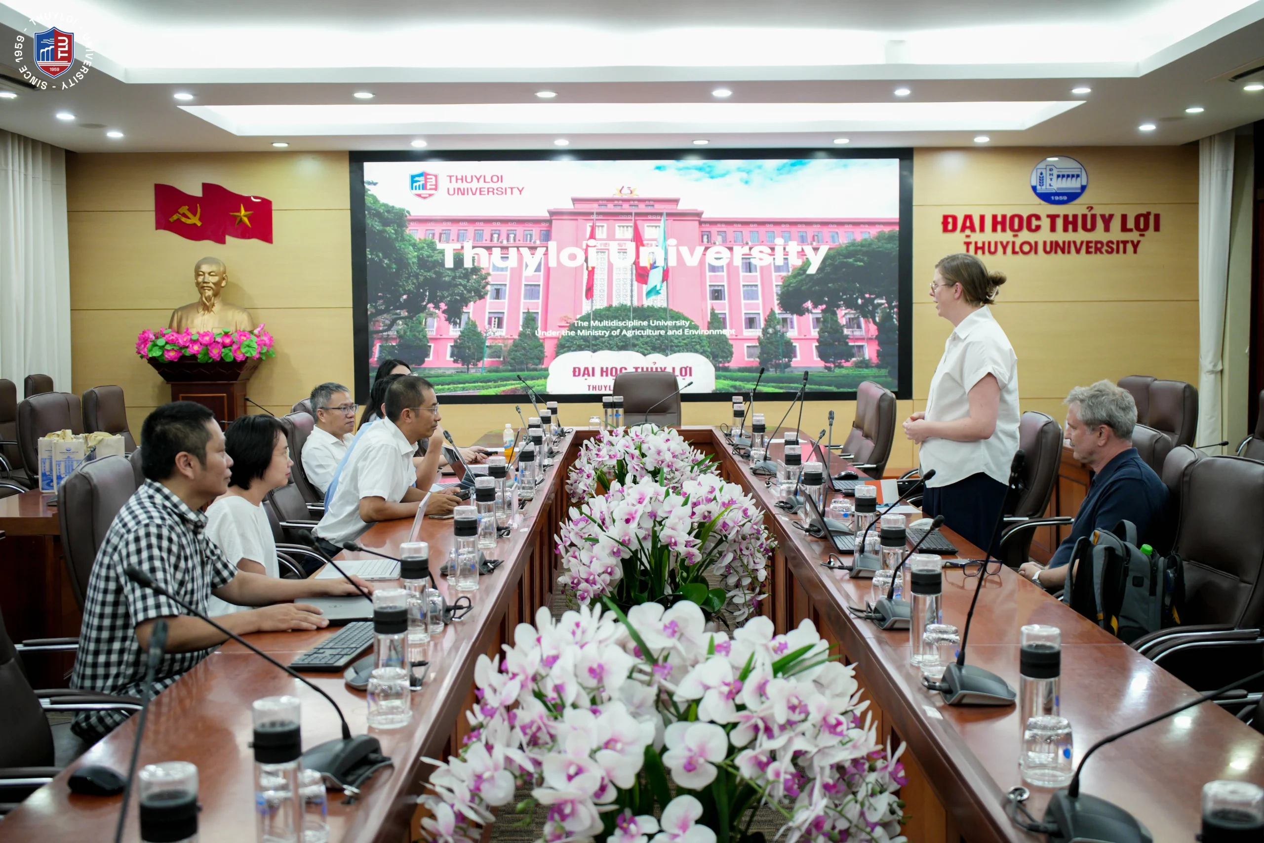
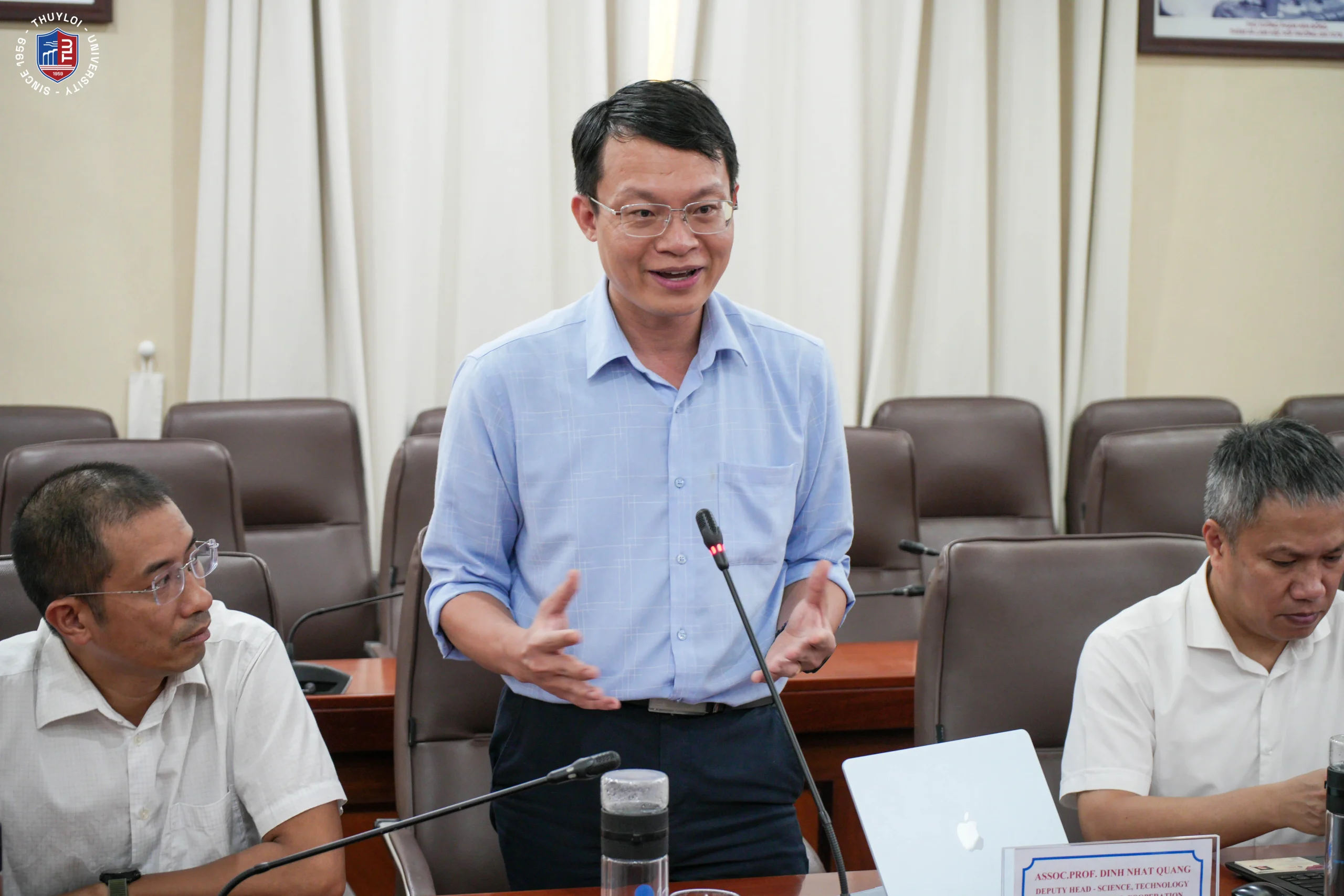
    In his opening remarks, Assoc. Prof. Dinh Nhat Quang welcomed the delegation on behalf of the University and introduced TLU and the participants. Members of the delegation then introduced themselves and outlined the purpose of their visit.
    Thuyloi University Explores Disaster Risk Cooperation with Delegation from Spiesen-Elversberg and htw saar (Germany)

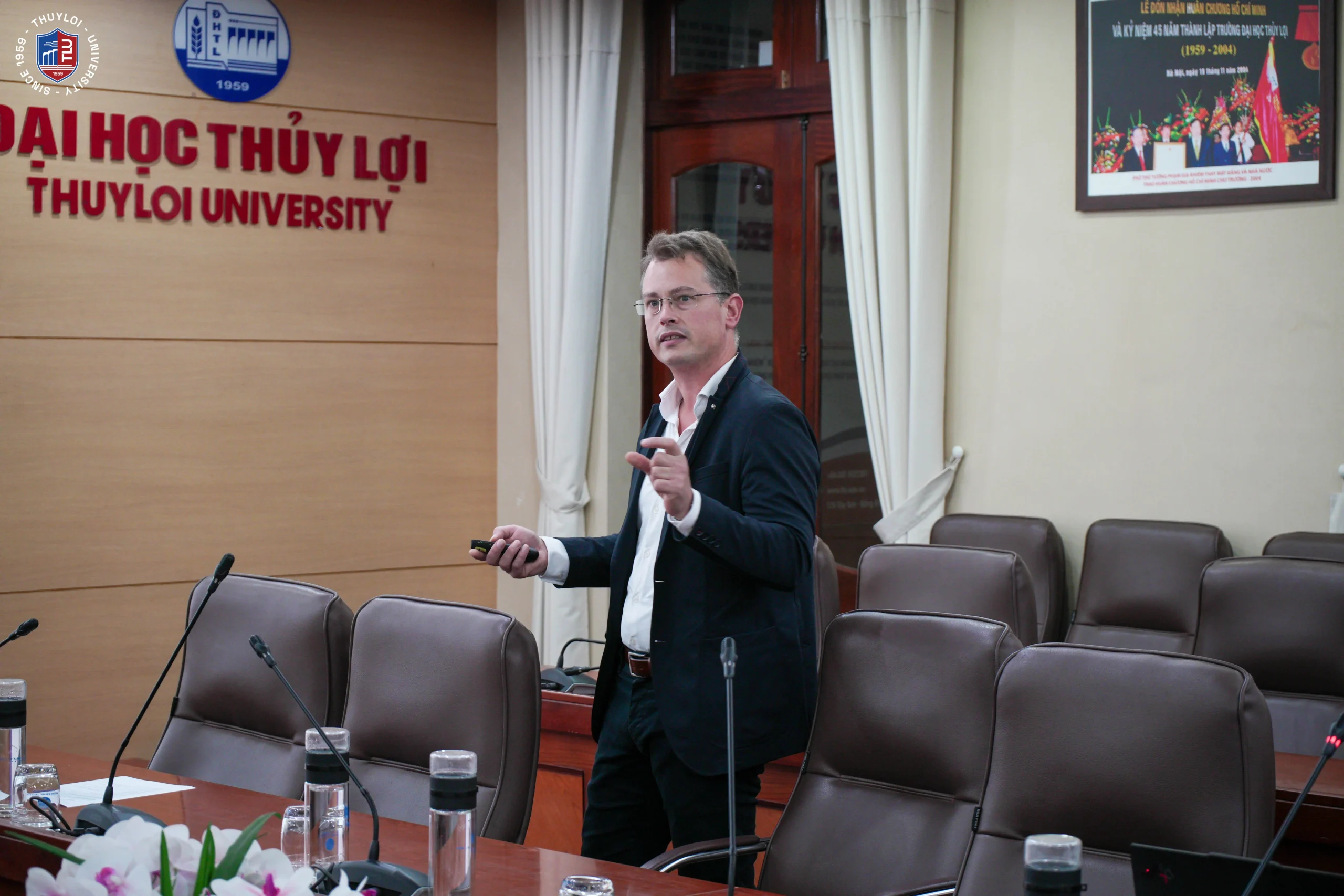
    Mr. Andreas Biehler presented an overview of htw saar, a university of applied sciences founded in 1946 with around 6,200 students, 118 professors and five competence centres. KoK² was established in December 2024, building on a Water Research Group active since 2015. Its mission is to connect science and technology with practice and to protect people, the environment and infrastructure in the face of climate change.
    Thuyloi University Explores Disaster Risk Cooperation with Delegation from Spiesen-Elversberg and htw saar (Germany)

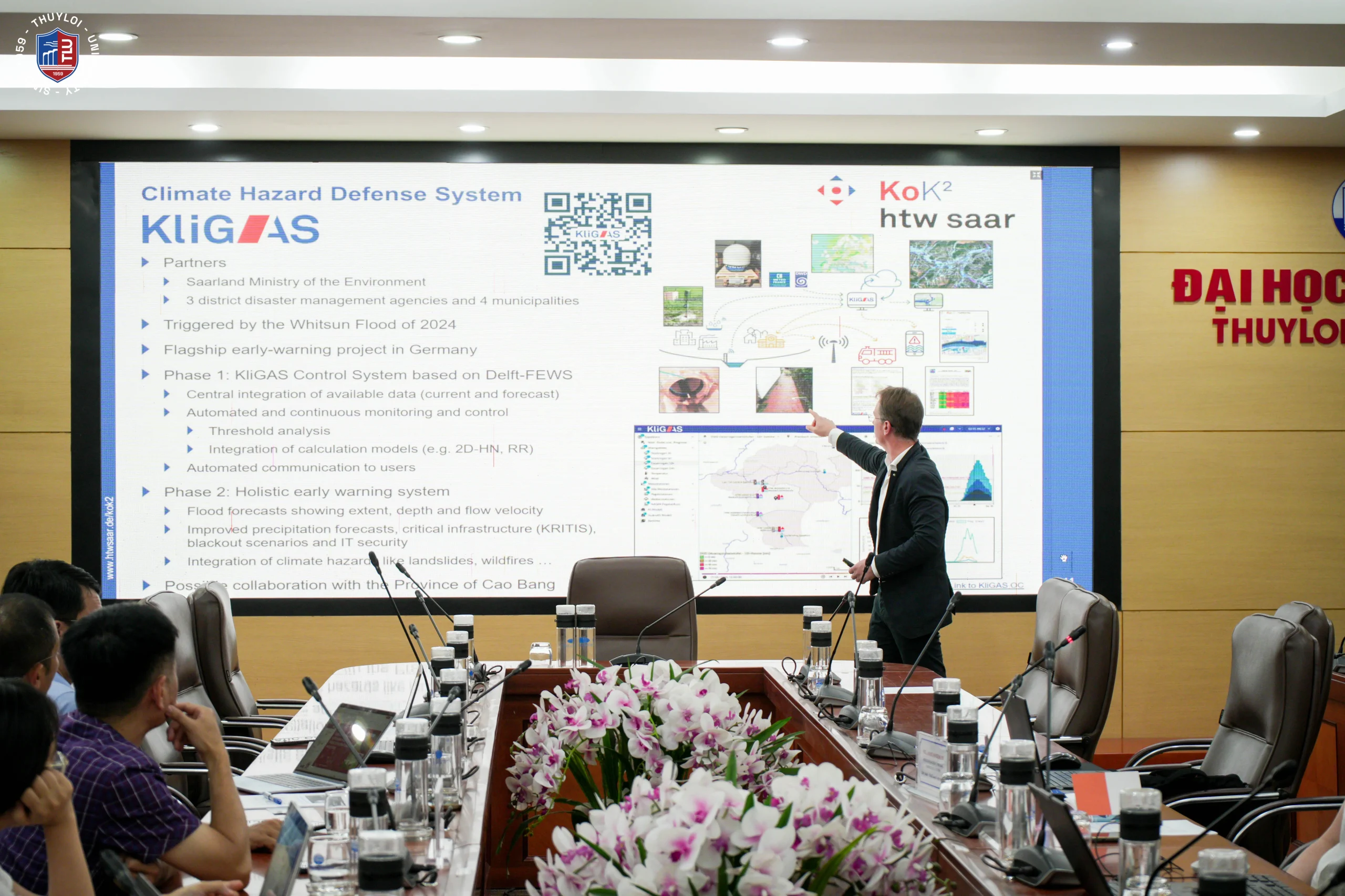
    The highlight of the presentation was KliGAS (Klimagefahrenabwehrsystem), Saarland’s climate hazard defence system. Launched in the wake of the 2024 Whitsun flood, it has become a flagship early warning project in Germany. Phase 1 established a control system based on Delft-FEWS that integrates monitoring and forecast data, enabling automated monitoring and communication to users. Phase 2 aims at a holistic early warning system that forecasts flood extent, depth and flow velocity, and incorporates other hazards such as landslides and wildfires.
    Thuyloi University Explores Disaster Risk Cooperation with Delegation from Spiesen-Elversberg and htw saar (Germany)

    Mr. Andreas Biehler presents the KliGAS system

    The delegation also shared other KoK² activities, including statewide heavy-rainfall hazard maps, flood risk assessments for critical infrastructure such as wastewater treatment plants, pumping stations and water and power networks, risk visualisation tailored to different user groups, the Digital Water Twin platform, research on landslide hazards and early warning, a training programme for civil protection advisors, and the “Flood Pass” for building owners.

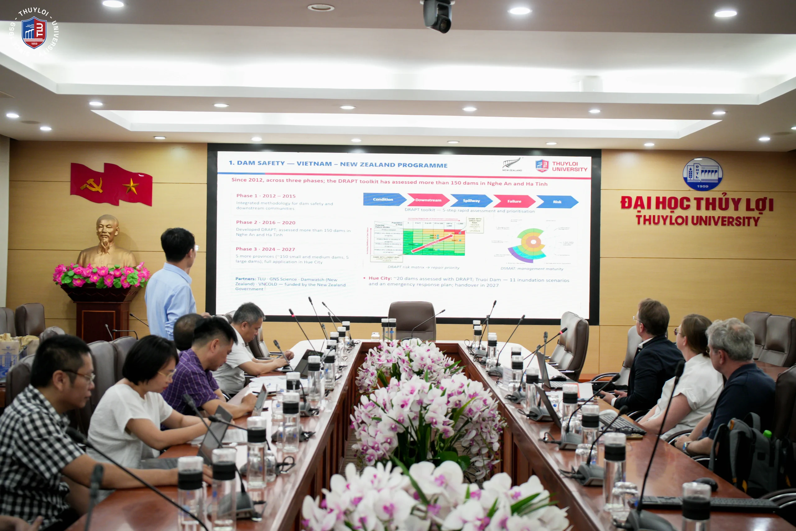
    TLU representatives in turn presented the University’s research on disaster risk reduction. Highlights included the Vietnam–New Zealand Dam Safety Programme, implemented in three phases since 2012 with partners GNS Science, Damwatch and VNCOLD and funded by the New Zealand Government. They also presented the SATREPS project (2026–2030), proposed by TLU with Japanese partners Gunma University, Tokyo City University, Saitama University and JICA, which will develop an integrated risk assessment and digitalised community-based early warning system for landslides and debris flows in Hue. A third example was the completed flood warning system for river basins in Quang Tri Province (former Quang Binh area). It provides online warnings and alerts via the FloodGuard QuangBinh mobile app, and serves as a foundation for river-basin and urban flood studies in Hanoi, Bac Ninh, Hue, Can Tho and Ca Mau.
    Thuyloi University Explores Disaster Risk Cooperation with Delegation from Spiesen-Elversberg and htw saar (Germany)

    TLU representatives present the University’s research and projects on disaster risk reduction

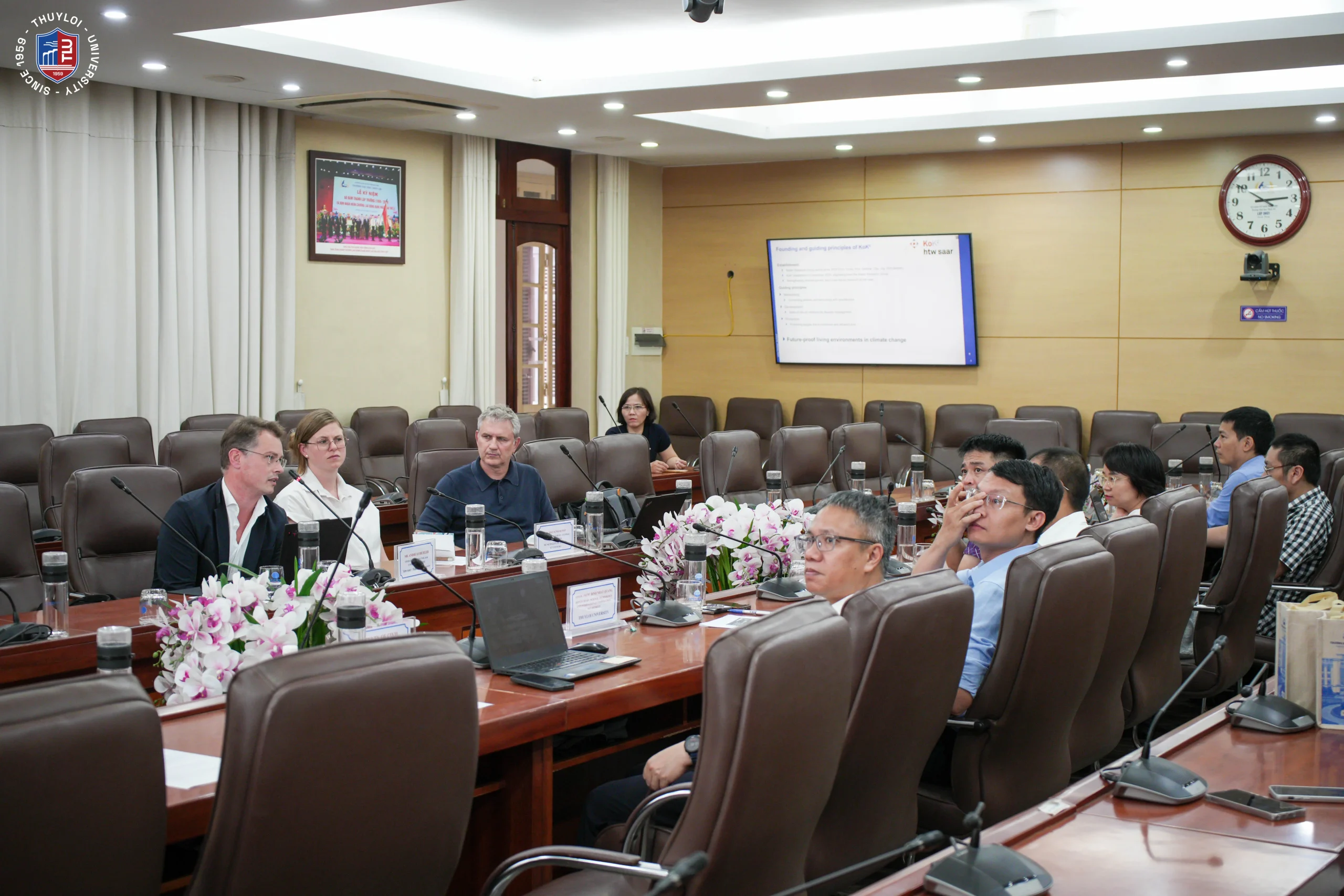
    The presentations and discussion showed that the two sides’ expertise is closely aligned, particularly in disaster risk assessment and hazard mapping tools. On this basis, both parties explored potential areas of cooperation, including student exchange, joint research and project development, and capacity building in risk assessment and early warning through training, consultancy and technology transfer. They also discussed linking TLU’s expertise with the delegation’s activities in Cao Bang Province, including the potential application of KliGAS and the development of climate-resilient infrastructure in mountainous areas.
    Thuyloi University Explores Disaster Risk Cooperation with Delegation from Spiesen-Elversberg and htw saar (Germany)

    TLU scientists take part in the discussion

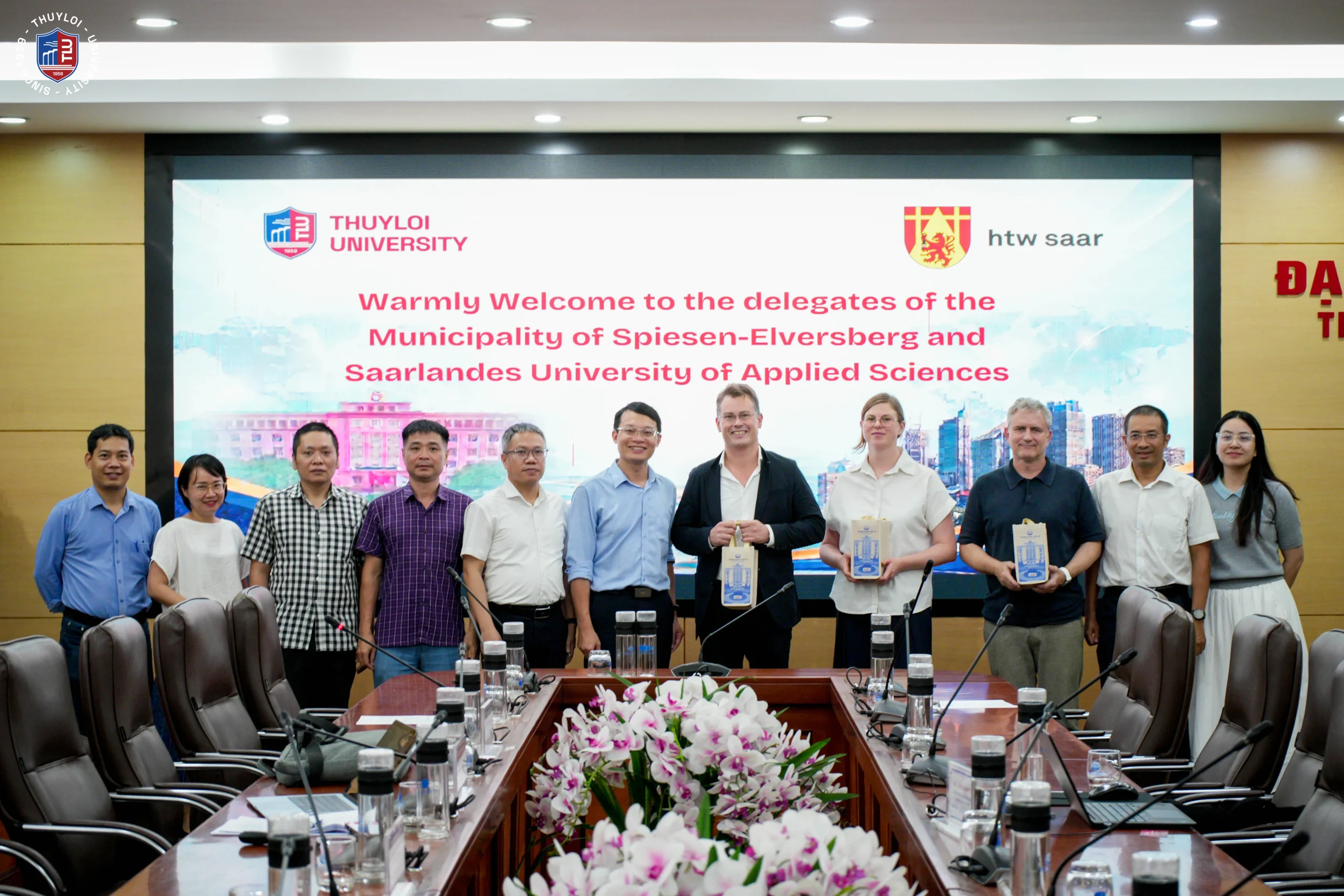
    The meeting concluded with an exchange of gifts and a group photo. The visit gave both sides a clearer picture of each other’s strengths and laid the groundwork for future collaboration in climate change adaptation and disaster risk management.
    Thuyloi University Explores Disaster Risk Cooperation with Delegation from Spiesen-Elversberg and htw saar (Germany)

    TLU representatives present souvenirs to the delegation
  • ACROSS Center of Excellence on “Advanced Computational Research for Sustainability Science”.

    Project implementation period: 10 years, from 2021 to 2030.

    Project name: ACROSS Center of Excellence on “Advanced Computational Research for Sustainability Science funded by Government of France.

    Overall objective: To develop artificial intelligence tools within the framework of Industry 4.0, centered on modeling and simulation tools, in order to build interactive visualization models that enable participation by multiple stakeholders – from managers at all levels to the teams directly operating the systems – together with the participation of local residents, toward the goal of sustainable system management.

    Specific objectives by phase:

    • 2021–2022: (1) Build interactive visualization models to support sustainable management of the Bac Hung Hai irrigation system in the Red River Delta region; (2) Evaluate effectiveness and upgrade the models;
    • 2022–2023: (1) Build interactive visualization models to support sustainable management of the Ta Trach reservoir irrigation works in the North Central and Central Coast region; (2) Evaluate effectiveness and upgrade the models;
    • 2023–2024: (1) Build interactive visualization models to support sustainable management of the Dak Lak irrigation works in the Central Highlands region; (2) Evaluate effectiveness and upgrade the models;
    • 2024–2025: (1) Build interactive visualization models to support sustainable management of the Duc Hoa irrigation area, Long An Province, in the Mekong Delta region; (2) Evaluate effectiveness and upgrade the models;
    • 2026–2030: (1) Build interactive visualization models to support sustainable management of smart agriculture in the Mekong Delta region; (2) Evaluate effectiveness and upgrade the models.
  • Digitally-enabled community-based early warning system for landslides and debris flows and integrated risk assessment for Central Vietnam: Utilizing remote sensing technology and evaluating economic damage mitigation measures in Hue City.

    Project name: “Digitally-enabled community-based early warning system for landslides and debris flows and integrated risk assessment for Central Vietnam: Utilizing remote sensing technology and evaluating economic damage mitigation measures in Hue City,” funded by the Government of Japan.

    Implementation period: 5 years (2026–2030, excluding the project completion/settlement period).

    Overall objective: This research establishes a technical platform to mitigate landslide and debris-flow risks for several typical, high-risk areas in Hue City, enabling management agencies, local authorities, and residents to respond more proactively to sediment-related disasters, while enhancing Vietnam’s research and training capacity in geological-hazard disasters through strengthened cooperation.

    Specific objectives:

    (i) Update existing landslide inventory, landslide susceptibility, and debris-flow hazard maps (at scales of 1: 50,000 and 1: 25,000) for Hue City to supplement the hazard-assessment database, based on detailed surveys and investigations combined with remote-sensing image analysis. Develop large-scale landslide susceptibility maps at 1:5,000 scale for key areas with concentrated populations and high landslide and debris-flow risk;

    (ii) Develop a pilot Early Warning System (EWS) for several key areas; digitize the EWS to strengthen the connectivity and transmission of risk information and warnings to local residents; evaluate the economic effectiveness of the EWS;

    (iii) Build a dedicated laboratory for landslide assessment; enhance research, training, and technology-transfer capacity for the team of experts in landslide disaster risk assessment; develop guidance documents for mapping and assessing landslide and debris-flow risk using remote-sensing technology.

  • Viet Nam – New Zealand Dam Safety Project.

    Viet Nam – New Zealand Dam Safety Project.

    The Viet Nam – New Zealand Dam Safety Project is a collaboration between the Governments of Viet Nam and New Zealand with the overall aim to reduce the risk and impact of dam failures and flooding in the Ca River catchment in central Viet Nam. Funded by the New Zealand Aid Programme the project is being implemented by Viet Nam’s Thuyloi University, New Zealand’s Damwatch Engineering and GNS Science.

    The project involves creating a system for dam and disaster management in Viet Nam, in parallel with implementing the prototype in an example catchment. The prototype system will provide Vietnamese dam owners, industry professionals and government agencies with the skills, tools and processes to dramatically reduce the risk of extreme dam discharge or dam failures. This is achieved by improving risk management between dam owners, developers, land use planning and emergency agencies and providing a framework for Viet Nam to implement throughout the country.

    Viet Nam – New Zealand Dam Safety Project.


    Phase 1 (2012 to 2016)

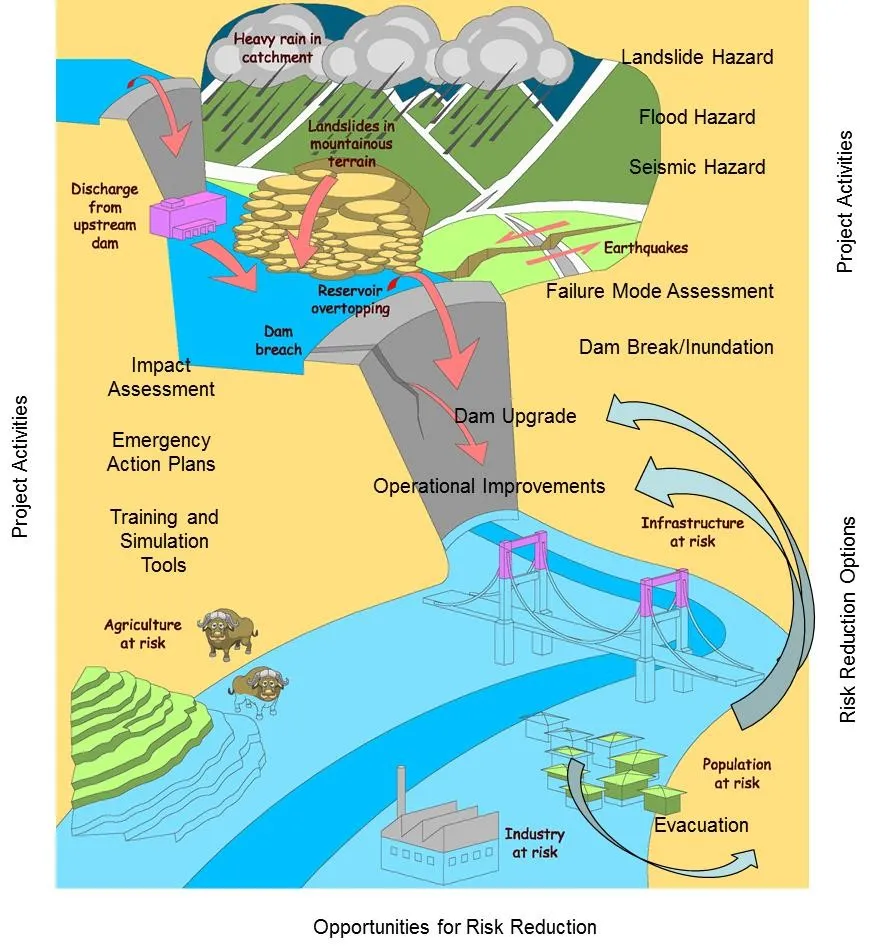
    Phase 1 of the project from 2012-2016, the Dam and Downstream Community Safety Initiative (DDCSI), developed Guidelines for dam safety assessment in a river basin context. Natural hazards are assessed, dam condition appraised, flood maps produced and downstream consequences of flood release or dam break quantified. This process is illustrated in the figure shown above. Phase 1 successfully developed a Dam Safety Methodology (DSM) in Vietnam context, and the DSM was accepted by Vietnam as its preferred approach to address dam safety.


    Phase 2 (2016 to 2021)

    Phase 2 of the project, the Viet Nam – New Zealand Dam Safety Project (VNZDSP), is being implemented from 2016 to 2021. This phase applies the DSM Guidelines developed in Phase 1 to a whole river basin, the Ca River system in Nghe An and Ha Tinh Provinces.

    Key outputs include:

    a, Defining existing assets and existing hazards

    Introduction of the Dam Rapid Assessment and Prioritisation Tool (DRAPT) for quickly determining dam condition, associated hazards and consequences for prioritising the detailed assessment and upgrade of dams using the Phase 1 methodology

    Undertaking Failure Mode Analysis (FMA) for high hazard dams to inform dam management and dam structural improvements, disaster risk management (DRM) interface improvements and downstream infrastructure improvements/ interventions

    Assessing and documenting flood, seismic and landslide hazards throughout a river basin.

    Undertaking flood modelling and producing inundation maps for various sizes of flood

    Determining the downstream consequences of flood or dam failure scenarios for use in disaster risk management

    b, Delivering operational guidelines

    Developing action checklists for improvements in DSM and DRM

    Applying lessons learnt as the project progresses to update the DSM Guidelines produced in Phase 1

    c, Delivering expert training to key stakeholders

    Developing training courses in Dam Safety Management (DSM) to increase stakeholder knowledge & understanding of the DSM methodology and its benefits

    Assimilating the DSM into the engineering curriculum of Thuyloi University curriculum


    Phase 3 (2022 to 2027)

    Phase 3 of the project, the Viet Nam – New Zealand Dam Safety Project (VNZDSP), is being implemented from 2022 to 2027.

    Overall objective: To strengthen the resilience of downstream communities in Viet Nam by expanding the application of dam safety assessment tools under conditions of climate change.

    Specific objectives: (i) To conduct an overall risk assessment of a number of representative high-risk dams with high downstream population concentrations using the detailed dam safety assessment tool developed in Phase 1; (ii) to apply the Rapid Dam Assessment Procedure Tool (DRAPT) developed in Phase 2 on a wider scale; (iii) to strengthen community capacity for rapid safety inspections of small and medium-sized dams and community-based disaster risk management; (iv) to develop a Dam Safety Management Assessment Tool (DSMAT) based on an integrated database of assessment criteria; and (v) to provide training and strengthen the capacity of stakeholders in disaster risk management, and update and upgrade relevant training programmes at Thuyloi University.

  • Building Environmental Intelligence for Vietnam and Southeast Asia: Insights from the TLU–VinUni–CSIRO Workshop

    Building Environmental Intelligence for Vietnam and Southeast Asia: Insights from the TLU–VinUni–CSIRO Workshop


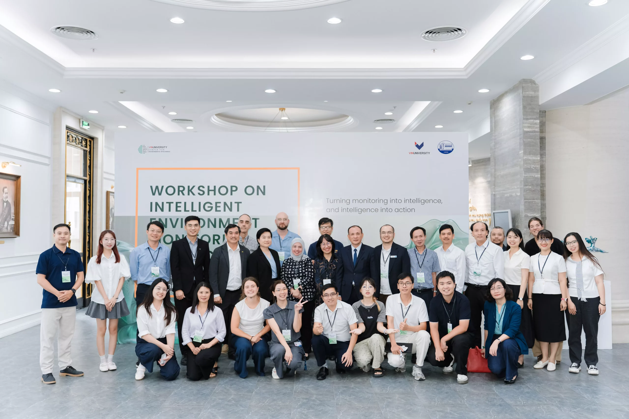
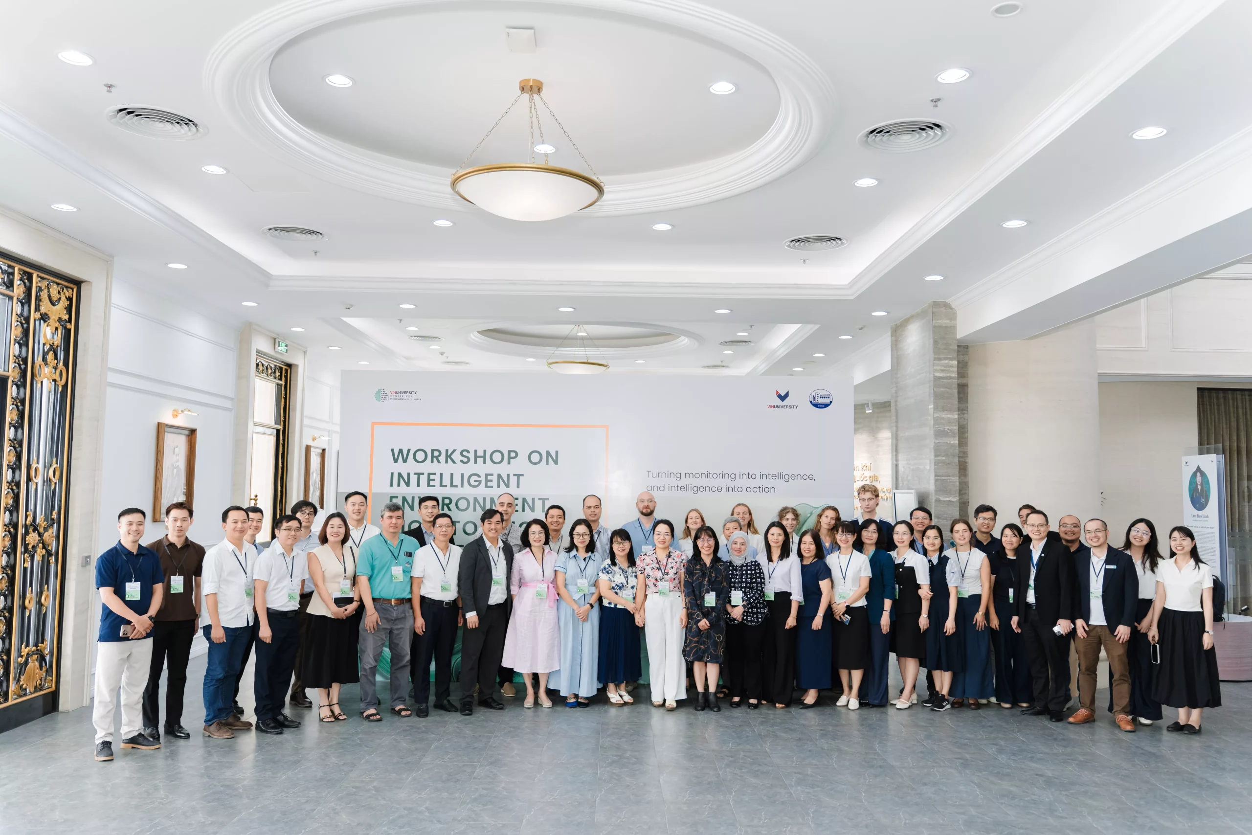
    On 4 September 2026, in Hanoi, Thuyloi University, together with VinUniversity and the Commonwealth Scientific and Industrial Research Organisation (CSIRO), Australia, successfully co-organised the Workshop on Intelligent Environment Monitoring and Forecasting. The workshop aimed to create a platform for cross-disciplinary and cross-sector knowledge exchange, and to discuss how environmental intelligence can better support sustainable development in Vietnam and the wider Southeast Asian region. The event brought together more than 100 delegates from universities, government agencies, including the Vietnam Ministry of Agriculture and Environment, international organisations (UNESCO, FAO of the UN), the Australian Embassy in Vietnam, as well as researchers, lecturers and students from universities and research institutions in Hanoi and beyond.

    Building Environmental Intelligence for Vietnam and Southeast Asia: Insights from the TLU–VinUni–CSIRO Workshop

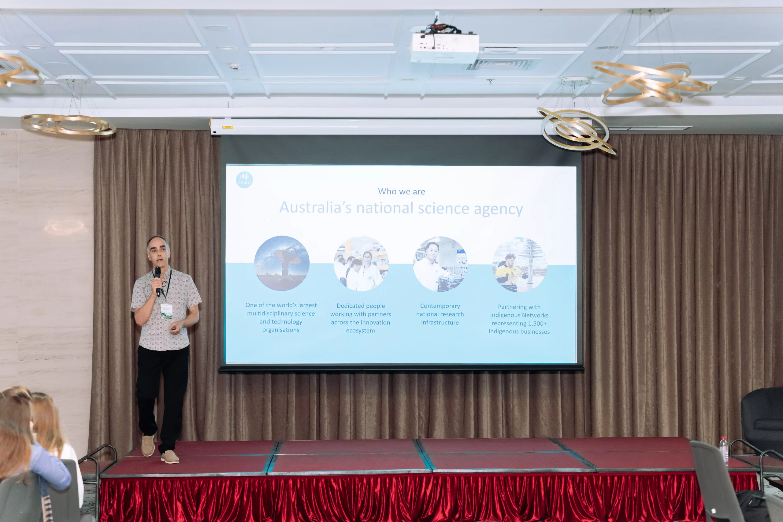
    The workshop opened with remarks from Prof. Laurent El Ghaoui, Vice Provost of VinUniversity, followed by keynote presentations from representatives of the Department of Hydraulic Works Management and Construction (Vietnam Ministry of Agriculture and Environment), CSIRO, FAO, and researchers from Thuyloi University and VinUniversity. The keynote speakers shared recent advances in intelligent environmental monitoring and forecasting technologies in both Vietnam and Australia, addressing challenges in environmental monitoring, management, and water quality assessment. The presentations highlighted growing interest in the use of artificial intelligence, digital twins, Earth observation, advanced sensing, low-cost sensors, and early-warning systems to strengthen environmental monitoring, forecasting and decision support in Vietnam and internationally.

    Building Environmental Intelligence for Vietnam and Southeast Asia: Insights from the TLU–VinUni–CSIRO Workshop

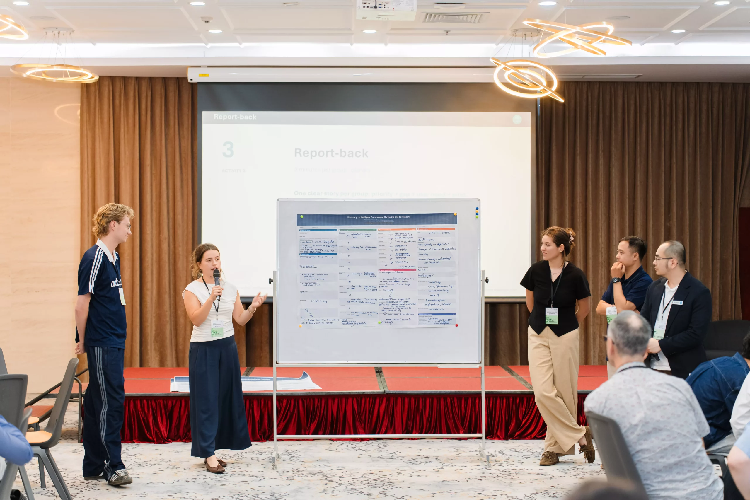
    The workshop also featured an interdisciplinary exchange session (Operational Readiness Sprint) bringing together domestic and international participants. Discussion groups actively examined the strengths and limitations of current approaches involving AI, IoT, Digital Twin, remote sensing and Earth Observation technologies. A recurring theme across the groups was that one of the greatest challenges remains the fragmented, poorly integrated data ecosystem, along with limited institutional mechanisms for sharing data and for translating research pilots into sustained operational systems. Building on this, participants jointly proposed pressing environmental issues to address at the local level, with the Red River and Mekong systems among the locations suggested for potential future pilots. In addition, the groups proposed developing a secure, accessible and cost-effective data-sharing system.

    Building Environmental Intelligence for Vietnam and Southeast Asia: Insights from the TLU–VinUni–CSIRO Workshop

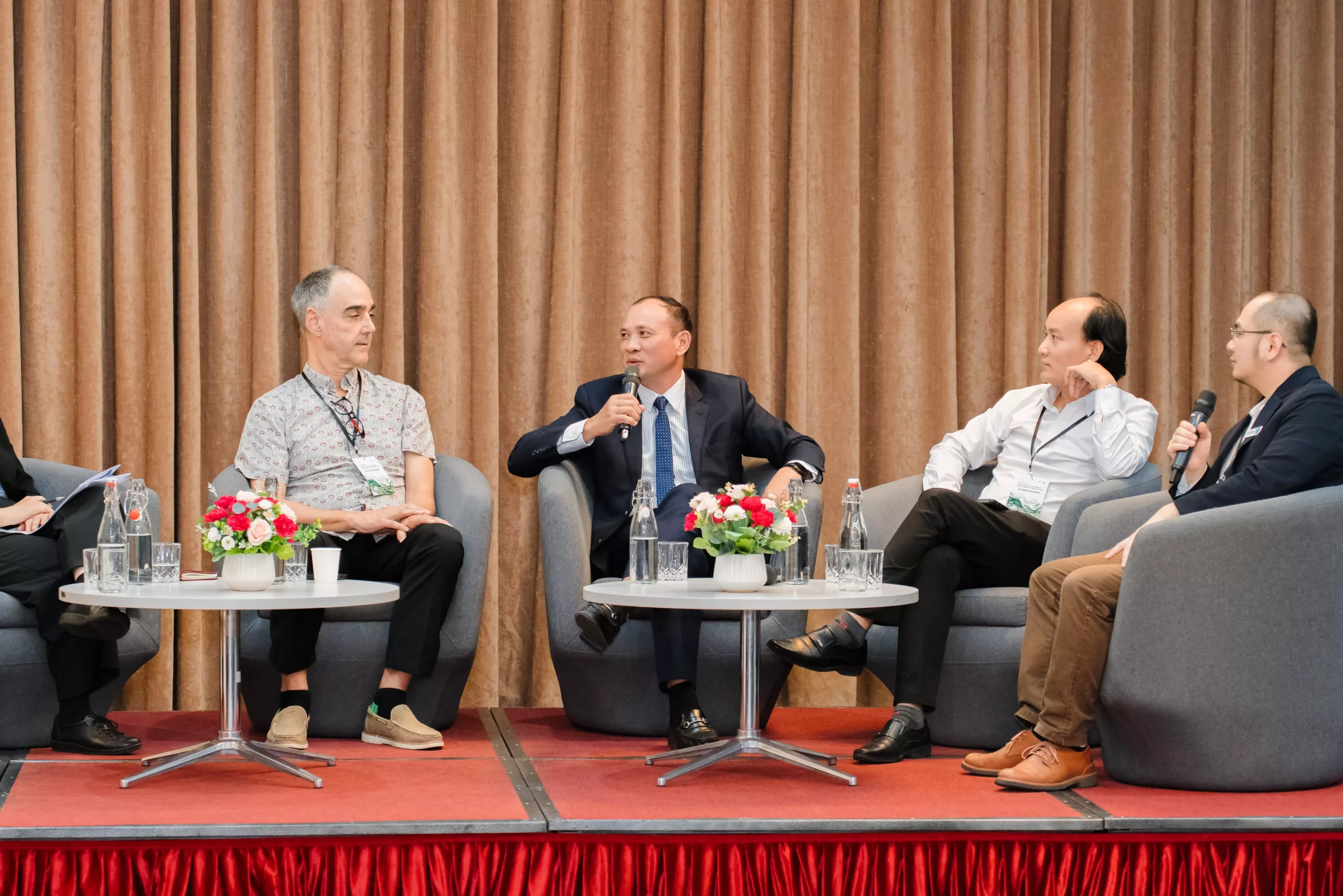
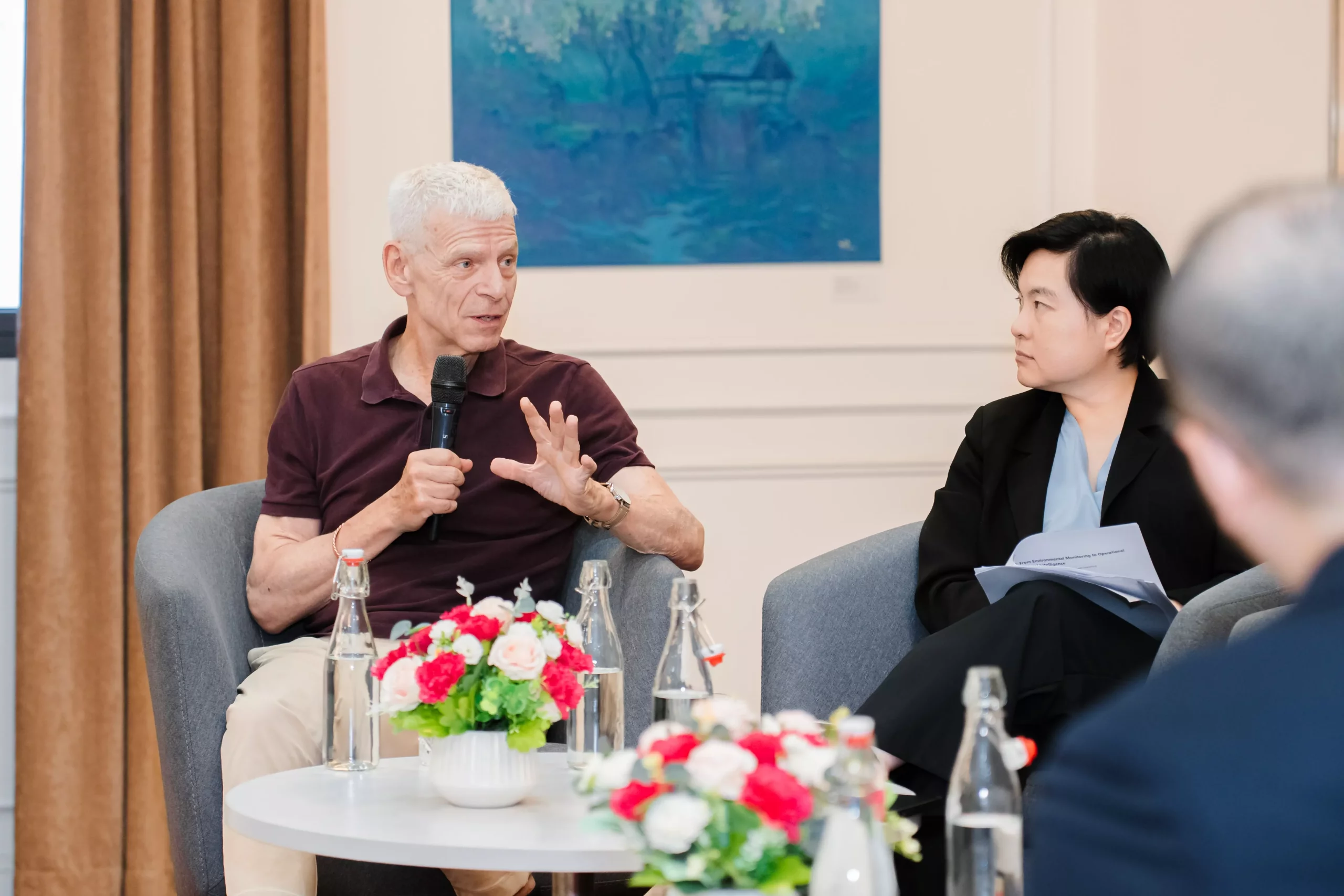
    The workshop concluded with a special high-level panel discussion moderated by Dr Duy Nguyen, Water Quality Modelling Lead with AquaWatch Australia and an environmental scientist at CSIRO. The panel featured distinguished leaders and scholars, including Prof. Nguyen Trung Viet (President of Thuyloi University), Prof. Laurent El Ghaoui (Vice Provost of VinUniversity), Ms. Lina Wong (Economic Counsellor, Australian Embassy in Vietnam), Dr. Tim Malthus (Senior Principal Research Scientist in CSIRO), and Dr. Bui Du Duong (Vice President, Water Research Institute, NAWAPI, Vietnam’s Ministry of Agriculture and Environment).

    Building Environmental Intelligence for Vietnam and Southeast Asia: Insights from the TLU–VinUni–CSIRO Workshop

    Under the theme “From Environmental Monitoring to Operational Environmental Intelligence: Opportunities for Vietnam and Southeast Asia,” the panel centred on a key overarching question: What is the biggest gap between current environmental monitoring and research capacity and a truly operational environmental intelligence system capable of supporting real-world decisions and remaining sustainable over the long term? During the discussion, Experts and policy representatives explored several interconnected challenges in moving from monitoring and research towards operational environmental intelligence, including model uncertainty, the practical role of artificial intelligence, data sharing and institutional coordination, sustainable financing, and pathways for translating research into operational services. Specifically:

    1. Model uncertainty: Panellists agreed that uncertainty is an inherent feature of environmental observations and forecasting systems and cannot be eliminated entirely. The challenge is therefore not only to quantify uncertainty, but also to communicate it clearly and meaningfully so that decision-makers understand the level of confidence, possible range of outcomes and implications for action.
    2. The practical role of AI: Panellists recognised the significant potential of AI to integrate large and diverse datasets and improve environmental analysis and forecasting. At the same time, AI should not be treated as a “black box”. Approaches such as Explainable AI and Physics-informed AI, and stronger integration between data-driven and process-based models, were highlighted as important for building transparency, trust and operational confidence.
    3. From research to sustained operations: A major gap remains in moving promising research and pilot projects into systems that can be maintained, scaled and used operationally. Panellists highlighted fragmented data, limited data-sharing mechanisms, unclear institutional responsibilities, long-term funding constraints and the need for stronger coordination among research organisations, government agencies and end users. Co-design should begin from the earliest stages, so that the research question, data requirements, operational responsibilities and decision needs are defined together.

    Ms Lina Wong also highlighted the importance of investment, financing and international cooperation in helping promising research move beyond the laboratory and pilot stage. Approaches such as blended finance, public–private partnerships and bilateral or regional cooperation can help bridge the gap between research and implementation, enabling successful technologies and services to be sustained and scaled in response to growing environmental and climate risks.

    Building Environmental Intelligence for Vietnam and Southeast Asia: Insights from the TLU–VinUni–CSIRO Workshop

    In the closing round, panellists were asked what practical change they would like to see over the next three years as evidence that Vietnam had genuinely progressed towards operational environmental intelligence. Responses pointed not only to the wider deployment of advanced, lower-cost, low-maintenance sensors and the better integration of large environmental datasets, but also to stronger institutional collaboration. A key measure of progress would be the ability of government agencies, universities, research organisations, international partners and other stakeholders to share data, align responsibilities and jointly develop, operate and sustain environmental information systems.

    Building on the panel discussion, Prof. Nguyen Trung Viet, President of Thuyloi University, outlined three areas through which TLU, as an academic and research institution, can contribute to this transition:

    • Strengthening capacity building and technology transfer: Thuyloi University can continue to strengthen its role as a hub for capacity building and technology transfer, supporting the technical and technological capabilities required by practitioners and system operators at national and local levels.
    • Sustaining research and continuous improvement: Continued field observations and data collection will remain important for refining AI algorithms, improving models and ensuring that operational systems can adapt to changing environmental, climatic and technological conditions.
    • Bridging funding and policy: Real-world evidence from research and pilot activities can provide a stronger basis for developing future project pipelines, attracting bilateral and international funding, supporting policy engagement, and building long-term partnerships rather than isolated short-term initiatives.

    The workshop concluded with a shared commitment to strengthening collaboration among research, government, industry, and international partners, while opening new opportunities for Thuyloi University to contribute its research, training, and technical expertise to the development of operational environmental intelligence in Vietnam and the wider Southeast Asian region.

    Building Environmental Intelligence for Vietnam and Southeast Asia: Insights from the TLU–VinUni–CSIRO Workshop

    By Vu Huong Ngan – Department of Science, Technology and International Cooperation

    Photos: VinUni